🏔 Wilderness
Pictured Rocks National Lakeshore
About This Permit
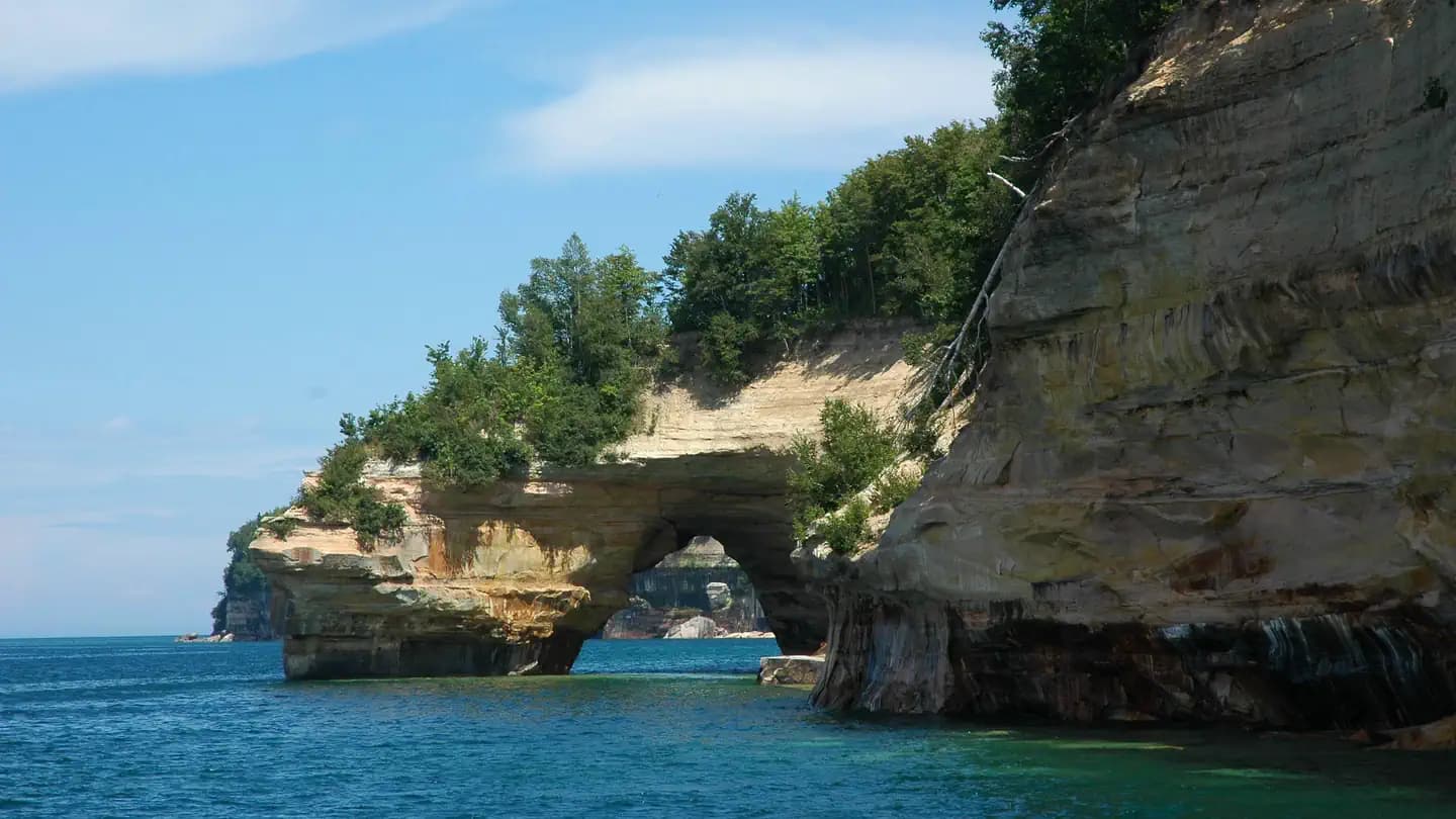
Pictured Rocks National Lakeshore stretches 42 miles along Lake Superior's southern shore in Michigan's Upper Peninsula, featuring 50–200 foot mineral-stained sandstone cliffs, sea caves, and waterfalls. The North Country Trail parallels the shoreline in a multi-day route through one of the Great Lakes' most dramatic landscapes.
Frequently Asked Questions
How do I reserve a campsite on the Pictured Rocks coastal trail?
All backcountry campsites require advance reservations on recreation.gov. Sites fill weeks in advance in summer — book as early as possible for July and August dates.
How long is the Pictured Rocks backpacking route?
The full shoreline route runs approximately 42 miles from Munising to Grand Marais, typically done in 3–5 days with designated backcountry campsites spread throughout. Day hikes to Chapel Falls and Miners Beach are popular without a permit.
Key Facts
- State
- MI
- Season
- Year-round (peak May – October)
- Quota
- Campsite-specific reservations required year-round
- Trailhead
- Munising Falls, Sand Point, Chapel Falls, Miners Beach
- Entry Point
- Munising Falls Interpretive Center
- Difficulty
- 2/5(Moderate)
Get an SMS the moment a cancellation opens — we scan every 60 seconds.
Set an Alert for This Permit