🏔 Wilderness
Lost Coast Trail (King Range)
About This Permit
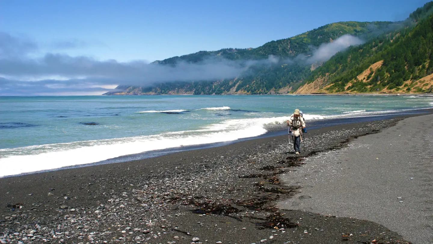
The Lost Coast Trail traverses 25 miles of California's most remote coastline through the King Range National Conservation Area — terrain too rugged for Highway 1. Hikers navigate beaches, headlands, and tidal sections past sea stacks and abundant wildlife. A BLM overnight permit is required during peak season.
Frequently Asked Questions
Is a permit required to hike the Lost Coast Trail?
A BLM overnight permit is required during peak season (roughly May through September). Day hikes are generally permit-free. Check current BLM regulations as the specific permit window can shift year to year.
Which direction should I hike the Lost Coast Trail?
Most hikers go north-to-south (Mattole to Shelter Cove) to keep the wind at their back. Tidal sections in the middle of the route must be timed carefully — consult a tide chart before you go.
Key Facts
- State
- CA
- Season
- Year-round (spring/fall optimal)
- Quota
- Trailhead group-size and seasonal daily quotas
- Trailhead
- Mattole Recreation Site (north) → Black Sands Beach, Shelter Cove (south)
- Entry Point
- Mattole Recreation Site, Petrolia
- Difficulty
- 3/5(Competitive)
Get an SMS the moment a cancellation opens — we scan every 60 seconds.
Set an Alert for This Permit