🏔 Wilderness
BWCA — Sawbill Lake (Entry Point 38)
About This Permit
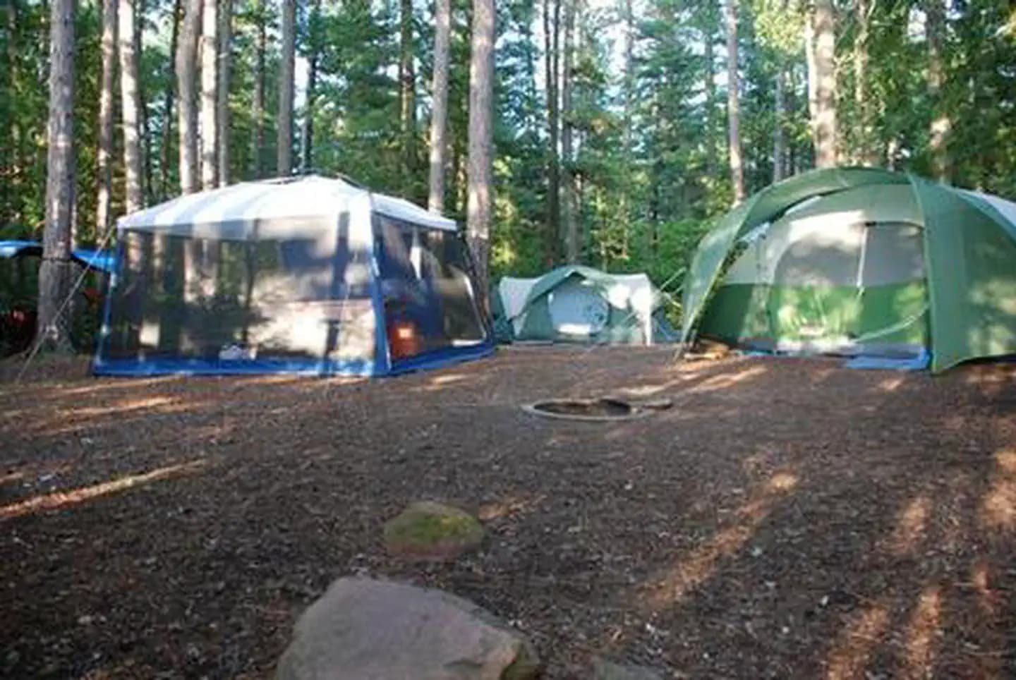
Sawbill Lake is the most popular entry point on the southern Gunflint/Sawtooth corridor of the BWCA, accessed via the Sawbill Trail from the North Shore town of Tofte. It opens into a network of interconnected lakes — Baker, Smoke, Long Island, and beyond — with excellent options for loop routes ranging from 3-day weekend paddles to 10-day expeditions. The Sawbill Outfitters at the trailhead end offers canoe rental and trip planning for paddlers coming from the North Shore.
Frequently Asked Questions
How do I get to Sawbill Lake from the North Shore?
From Tofte on Hwy 61, take the Sawbill Trail (County Rd 2) north approximately 23 miles to the end of the road at Sawbill Lake Campground. The drive is entirely on paved road. Sawbill Outfitters at the trailhead can provide canoe rental, permits, and outfitting services.
What loop routes are popular from Sawbill Lake?
A classic 5–7 day loop goes Sawbill → Baker → Smoke → Long Island Lake → Beth Lake and back, or continues deeper into the interior. Shorter 3-day paddles often do the Sawbill → Alton → Beth → Sawbill triangle. Routes are well-marked and portages are generally manageable.
Is Sawbill easier to get a permit for than the Ely entry points?
Often yes — the Sawbill corridor is popular but typically less contested than the Moose Lake or Moose/Fall Lake corridor near Ely. Mid-week permits and September dates usually have good availability. July weekend dates can still sell out early.
Key Facts
- State
- MN
- Season
- May 1 – September 30 (reserved permits)
- Quota
- Approximately 6 groups per day (⚠️ verify)
- Trailhead
- Sawbill Lake Campground, end of Sawbill Trail (County Rd 2) near Tofte
- Entry Point
- Sawbill Lake (Entry Point 38)
- Difficulty
- 2/5(Moderate)
Get an SMS the moment a cancellation opens — we scan every 60 seconds.
Set an Alert for This Permit