🏔 Wilderness
BWCA — Clearwater Lake / Grand Marais Area (Entry Point 60)
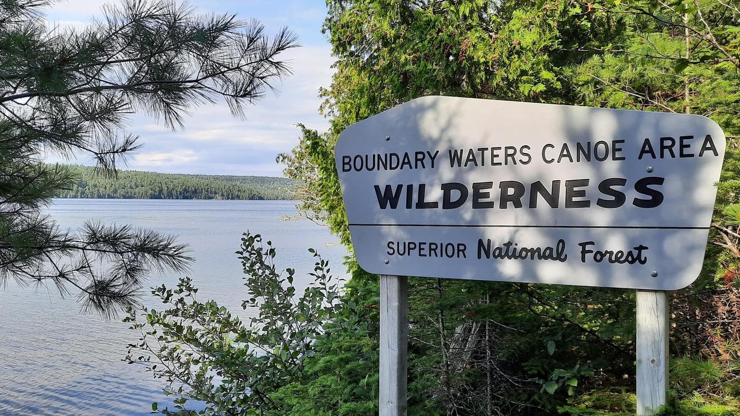
About This Permit
The eastern BWCA entries along the Gunflint Trail corridor offer access to classic canoe country with dramatic shorelines and some of the clearest water in the wilderness. The Grand Marais area entry points put paddlers close to the Seagull Lake corridor, Saganaga Lake, and routes toward the Quetico. The Gunflint Trail itself is a scenic 57-mile drive from the North Shore town of Grand Marais, passing numerous outfitters and lodges along the way.
Frequently Asked Questions
What is the Gunflint Trail?
The Gunflint Trail (County Rd 12) is a 57-mile paved road running northwest from Grand Marais, MN into the heart of the BWCA. It passes more than a dozen entry points and numerous outfitters, making it one of the primary access corridors for eastern BWCA trips.
What lakes can I reach from the Grand Marais area entry points?
The Gunflint corridor provides access to Seagull Lake, Saganaga Lake (on the Quetico border), Magnetic Lake, and many smaller interior lakes. Routes in this part of the BWCA tend to be less crowded than the Ely corridor and offer spectacular scenery along the Canadian Shield.
Are there outfitters near this entry point?
Yes — the Gunflint Trail has several full-service outfitters that rent canoes, provide guided trips, and sell permits. Outfitter names and availability change seasonally; contact the Gunflint Trail Association or the Superior National Forest for current recommendations.
Key Facts
- State
- MN
- Season
- May 1 – September 30 (reserved permits)
- Quota
- Approximately 4 groups per day (⚠️ verify)
- Trailhead
- Gunflint Trail corridor, northeast of Grand Marais
- Entry Point
- Entry Point 60, Gunflint Trail area near Grand Marais, MN
- Difficulty
- 2/5(Moderate)
Get an SMS the moment a cancellation opens — we scan every 60 seconds.
Set an Alert for This Permit